Last updated 23rd July 2026
Tunstall Deanery covers some of the Lancaster City local authority areas.
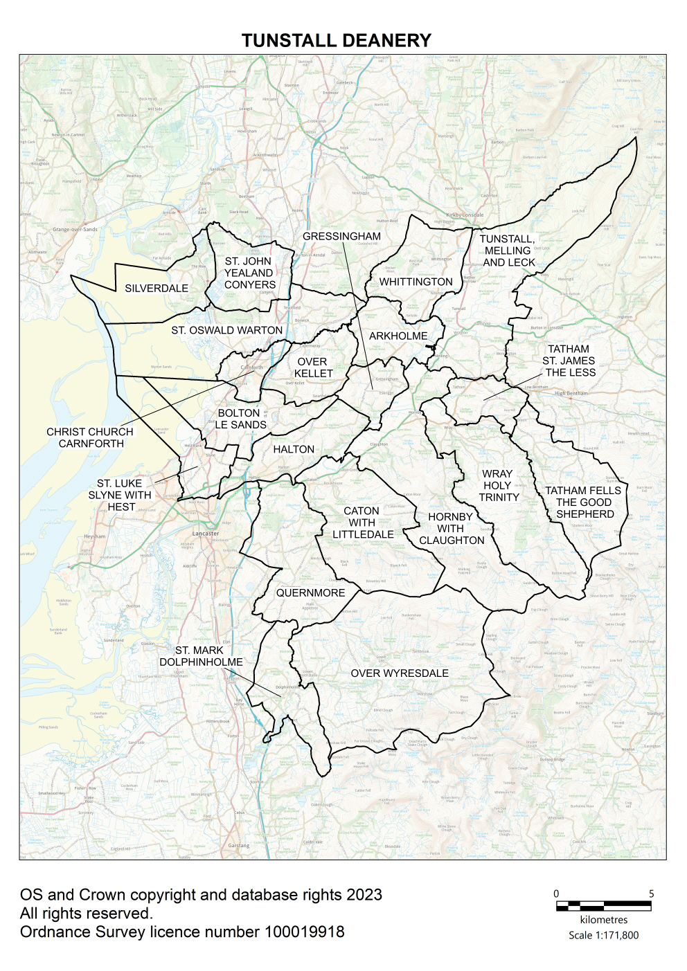
Map of Tunstall Deanery showing all of the parish boundaries on an Ordnance Survey background.
Key contacts
Deanery Synod Dates
Parish information
| Parish name | Parish map |
Parish Dashboard |
Census 2021 |
Parish website/ |
|---|---|---|---|---|
| Arkholme, St John the Baptist | Map | Census | ||
| Bolton-le-Sands, Holy Trinity | Map | Census | ||
| Carnforth, Christ Church | Map | Census | ||
| Caton with Littledale, St Paul | Map | Census | ||
| Dolphinholme, St Mark | Map | Dashboard | Census | |
| Gressingham, St John the Evangelist | Map | Census | ||
| Halton, St Wilfrid | Map | Census | ||
| Hornby, St Margaret | Map | Census | ||
| Over Kellet, St Cuthbert | Map | Census | ||
| Over Wyresdale, Christ Church | Map | Dashboard | Census | |
| Quernmore, St Peter | Map | Dashboard | Census | |
| Silverdale, St John | Map | Census | ||
| Slyne with Hest, St Luke | Map | Census | ||
| Tatham Fells, The Good Shepherd | Map | Census | ||
| Tatham, St James the Less | Map | Census | ||
| Tunstall, Melling and Leck | Map | Census | ||
| Warton, St Oswald | Map | Census | ||
| Whittington, St Michael the Archangel | Map | Census | ||
| Wray, Holy Trinity | Map | Census | ||
| Yealand Conyers, St John The Evangelist | Map | Census |